We are aming at reliable applications and we stay "grounded" with our promises. However, in many cases it is worth to change the point of view. Therefore, we decided in 2012 to include UAV-based applications into our portfolio - with success. We see UAVs - so-called "Unmanned Aerial Vehicels" - as our extended arm to capture objects with restricted access at highest accuracy on the one hand, but also to realize conventional surveying tasks more efficient. We do not only rely on the application of available systems. In the recent years, we developed a broad foundation of sensors to fulfill your wishes best. The 3 pillars of our UAV-technology are:
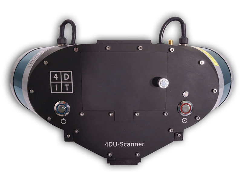
4DU-Scanner
Optimized for topographic surveying, two scanner and a camera-system capture up to 1.2 million points per second at 32 different incidence angles.
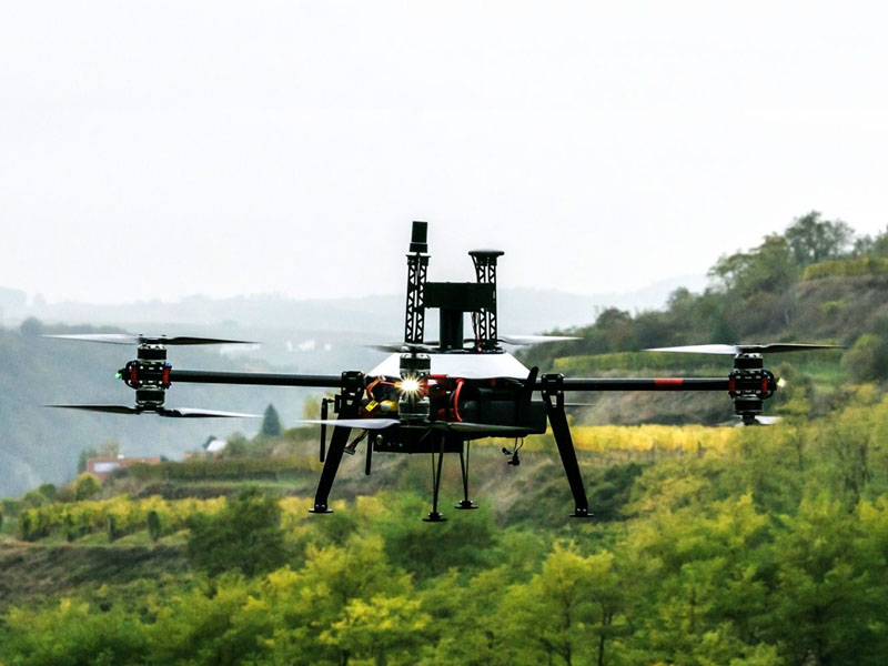
4DU-CamCopter
Equipped with a 24 Megapixel-Camera and an RTK-GPS-IMU-Sensor, orthophotos with a resultuion of up to 5 mm per pixel can be determined. The relative accuracy is up to 1 cm.
The maximum payload of 3 kg allows to apply the 4DU-Scanner.
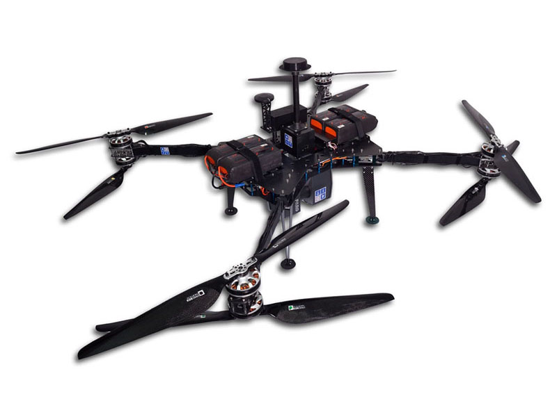
4DU-ScanCopter
The maximum payload is 8 kg. The system is optimized for the application of Faro Focus3D laserscanner for highly accurate documentation of buildings and industrial sites.
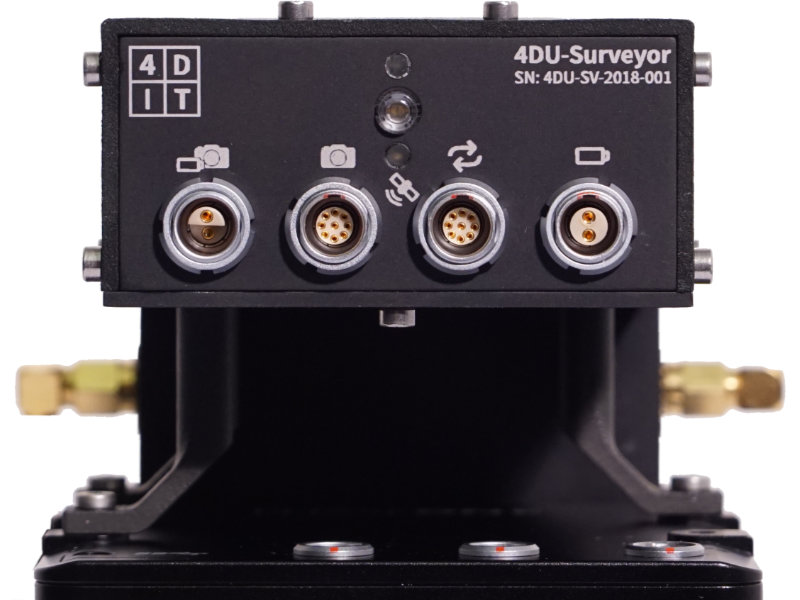
4DU-Surveyor
The combination of the leading metric medium-format camera Phase One iXM-100 with the highly accurate Applanix APX-18 GNSS/IMU positioning sensor allows for brilliant photos and highly accurate 3D-models.