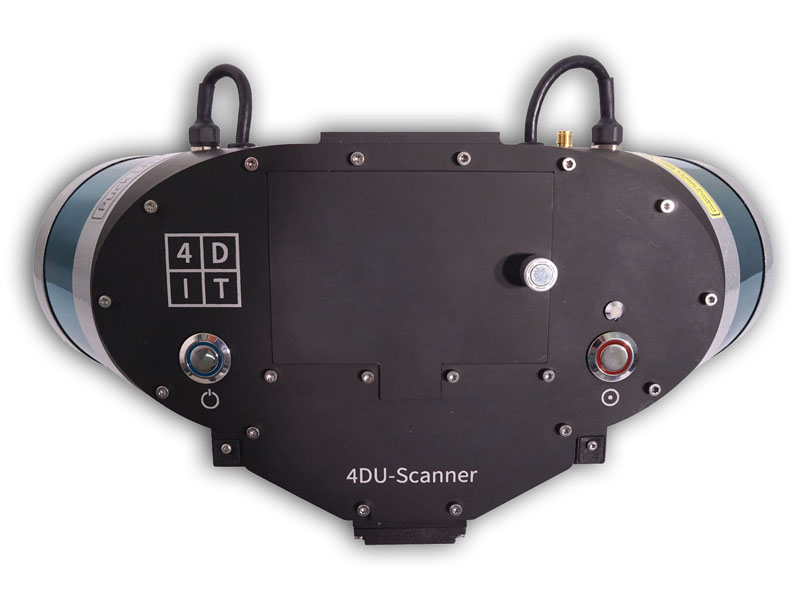
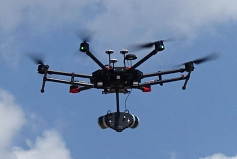
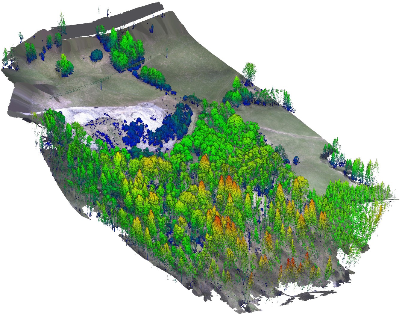
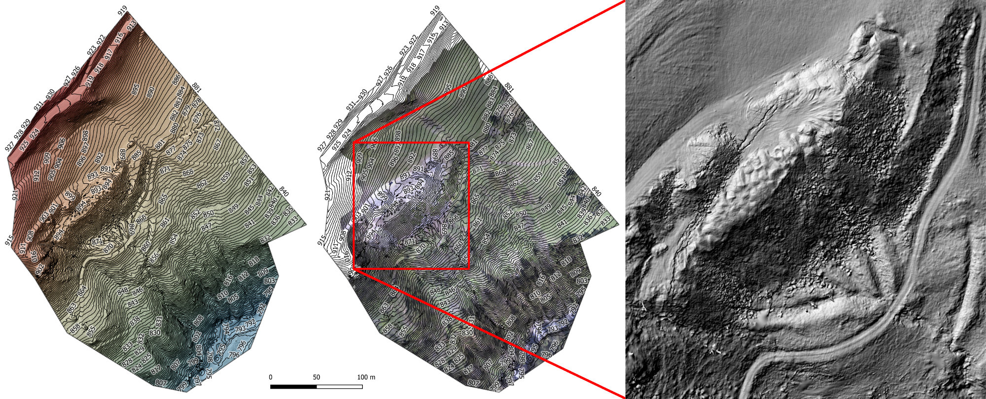
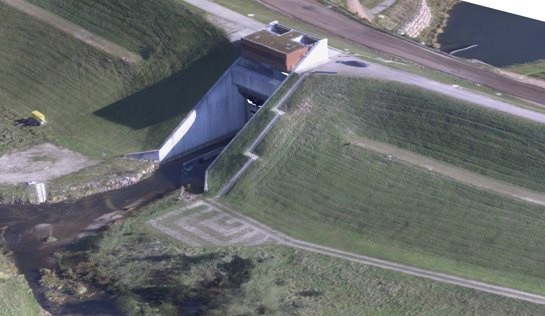
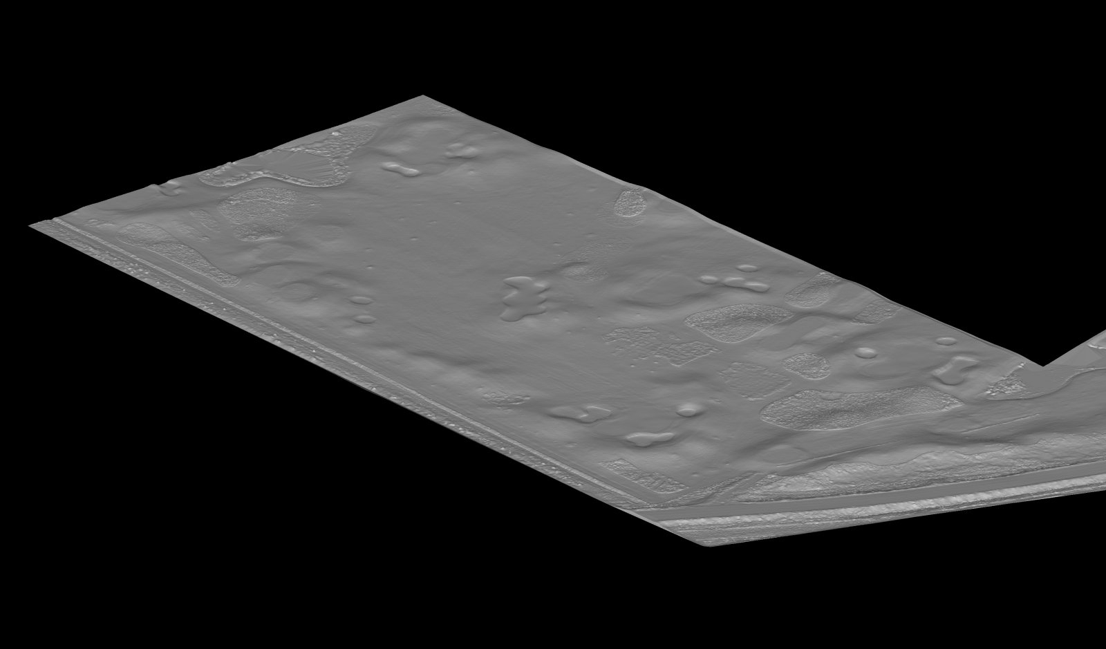
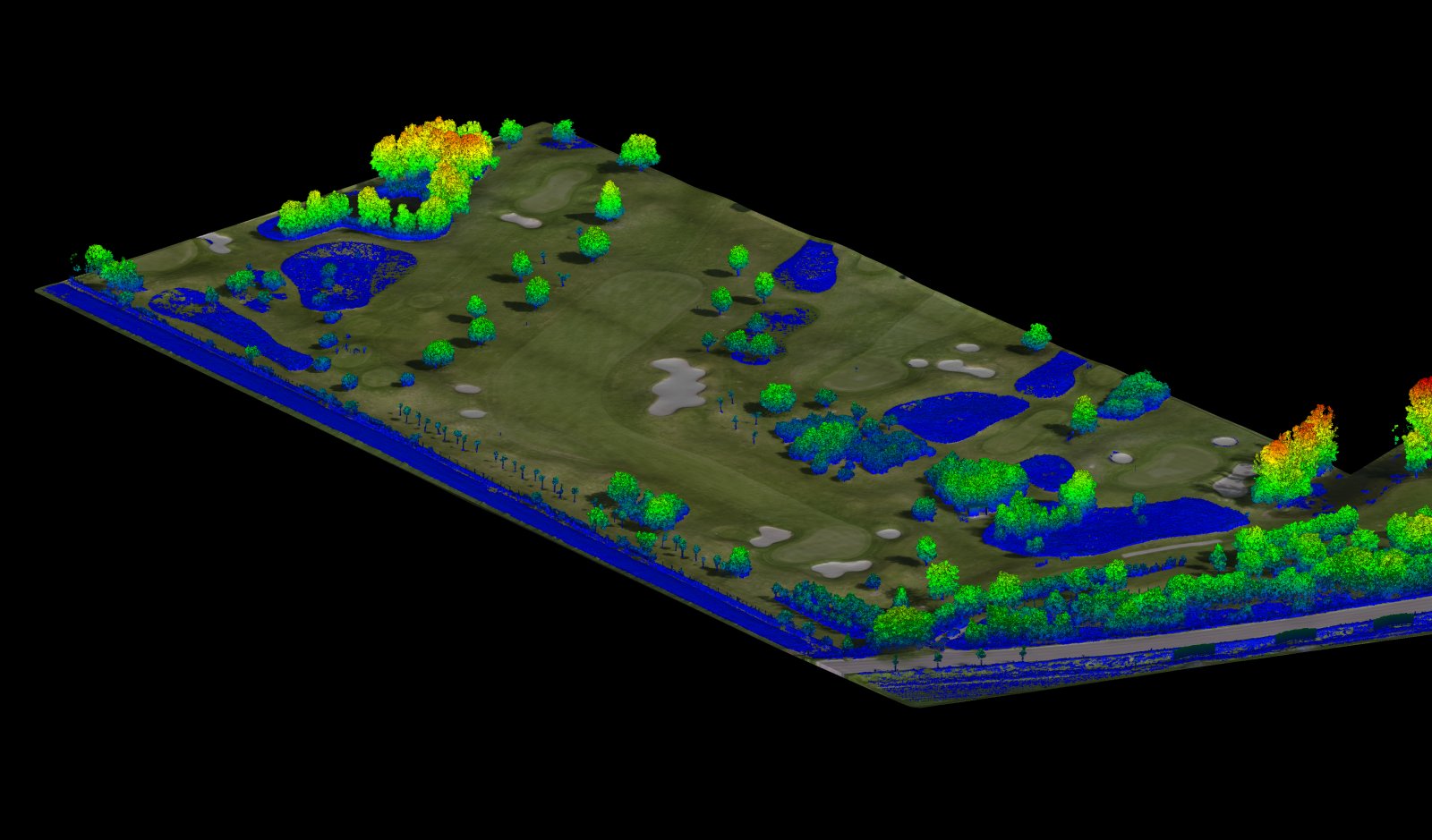
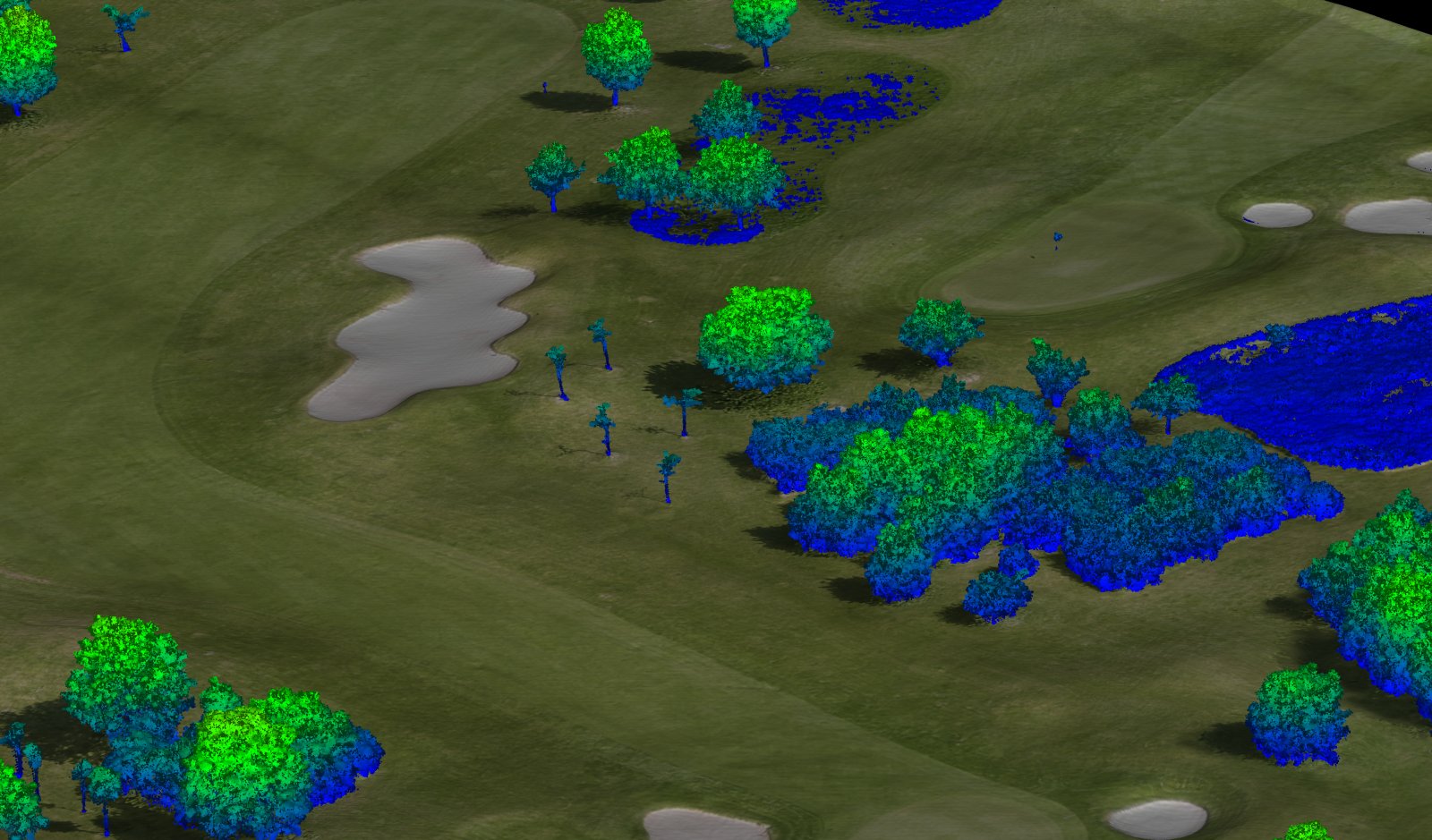
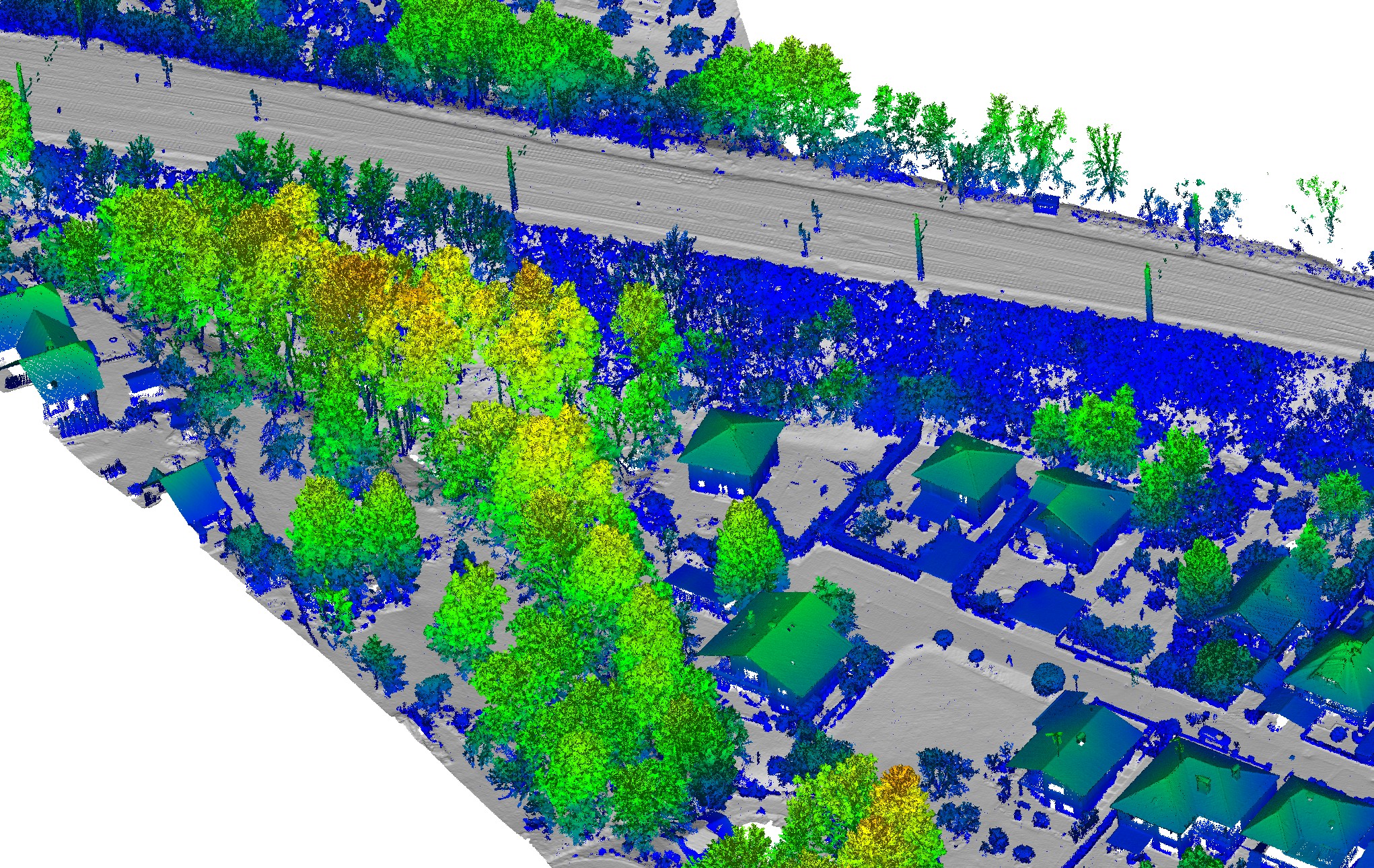
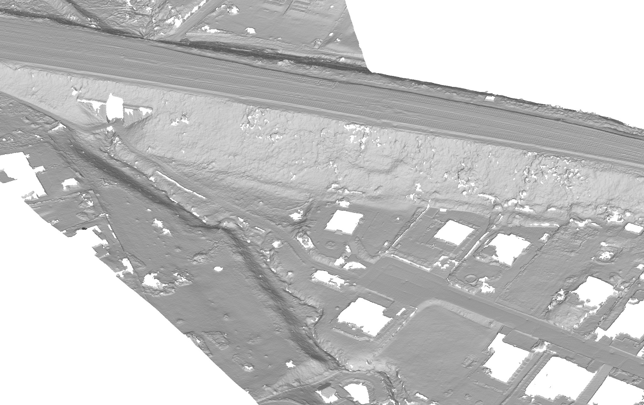
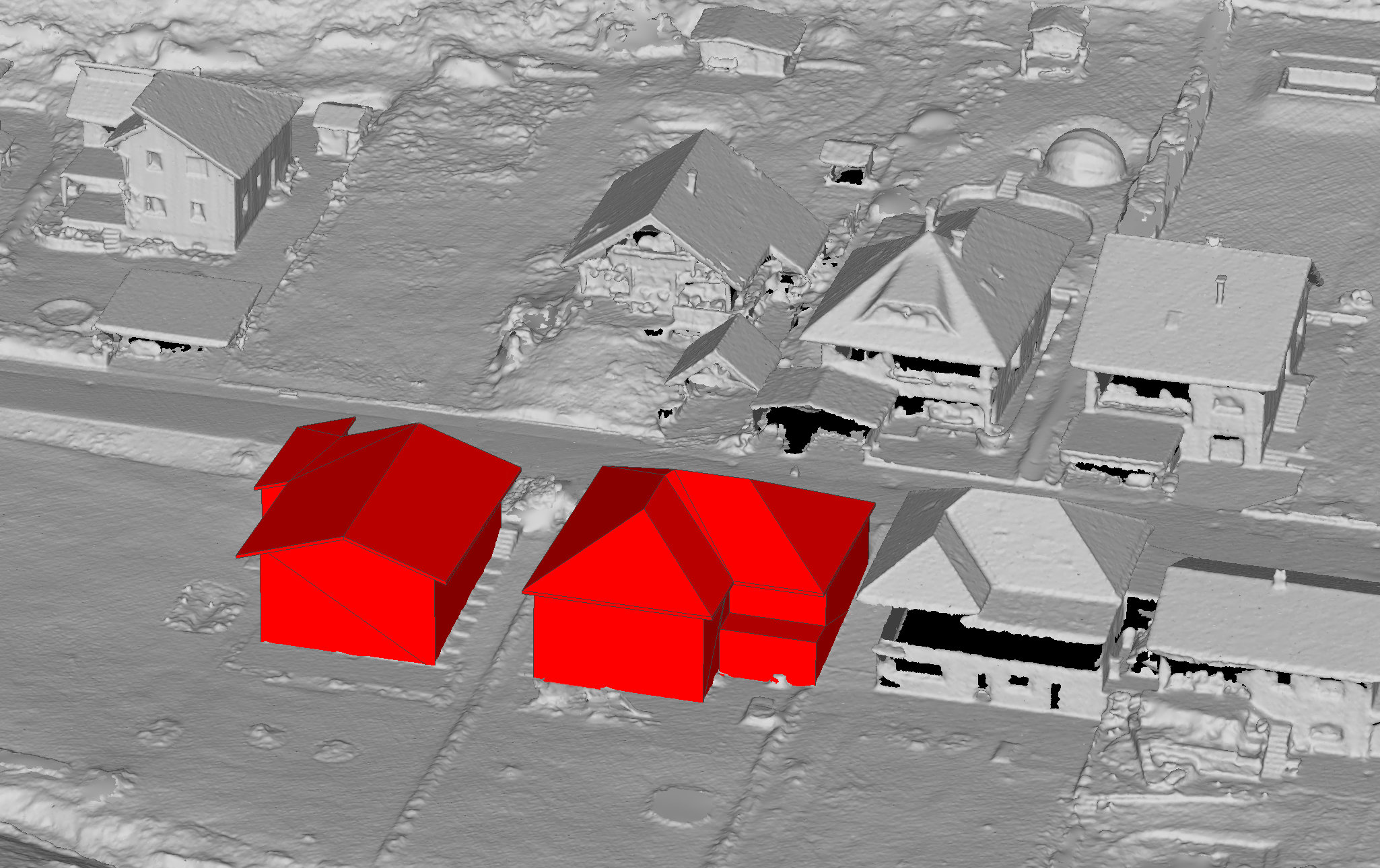
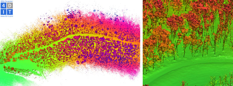
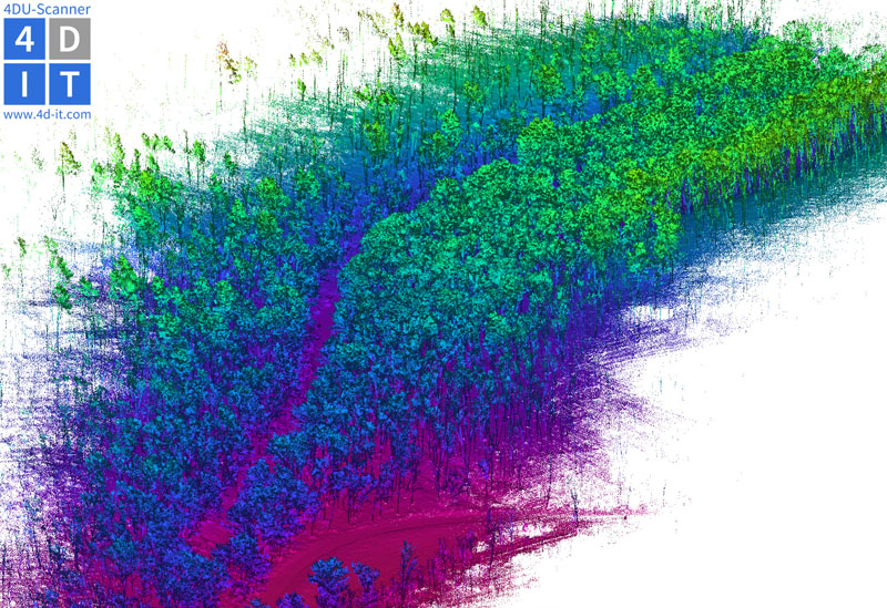
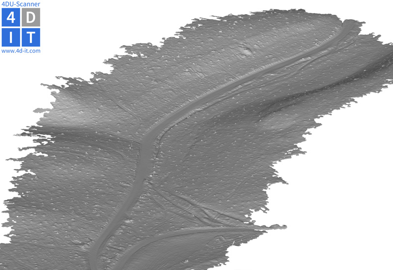
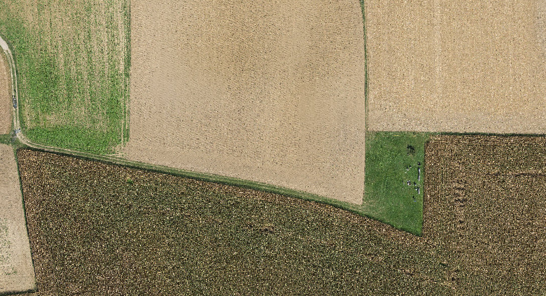
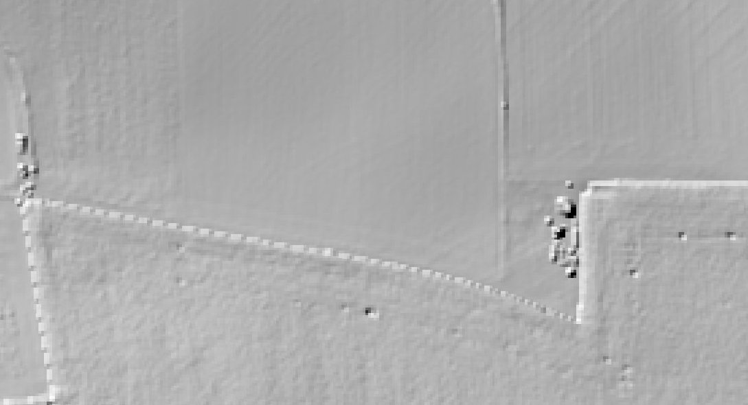
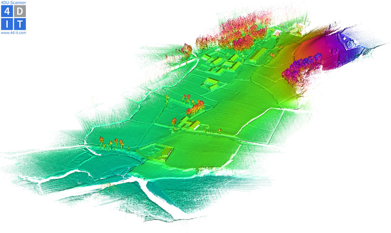
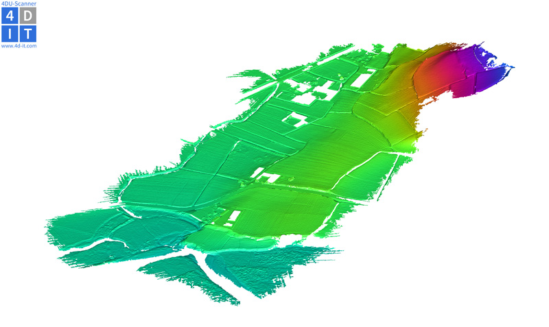
The 4DU-Scanner combines the advantages of UAV-based mapping and airborne laser scanning. The system integrates two Hesai PandarXT scanner, a camera system for texture mapping and an Applanix APX-15 GNSS/IMU sensor for precise georeferencing. The system is ready for various topography related applications such as terrain modeling, vegetation mapping, geological mapping, documentation of pit-mining activities, or land slide monitoring, and for high-quality 3D documentation of building facilities, industrial sites, or archaeology.