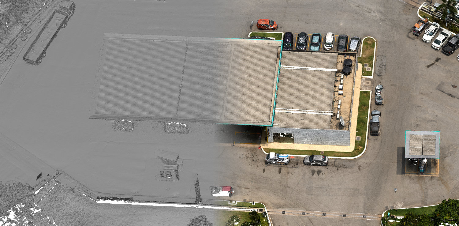
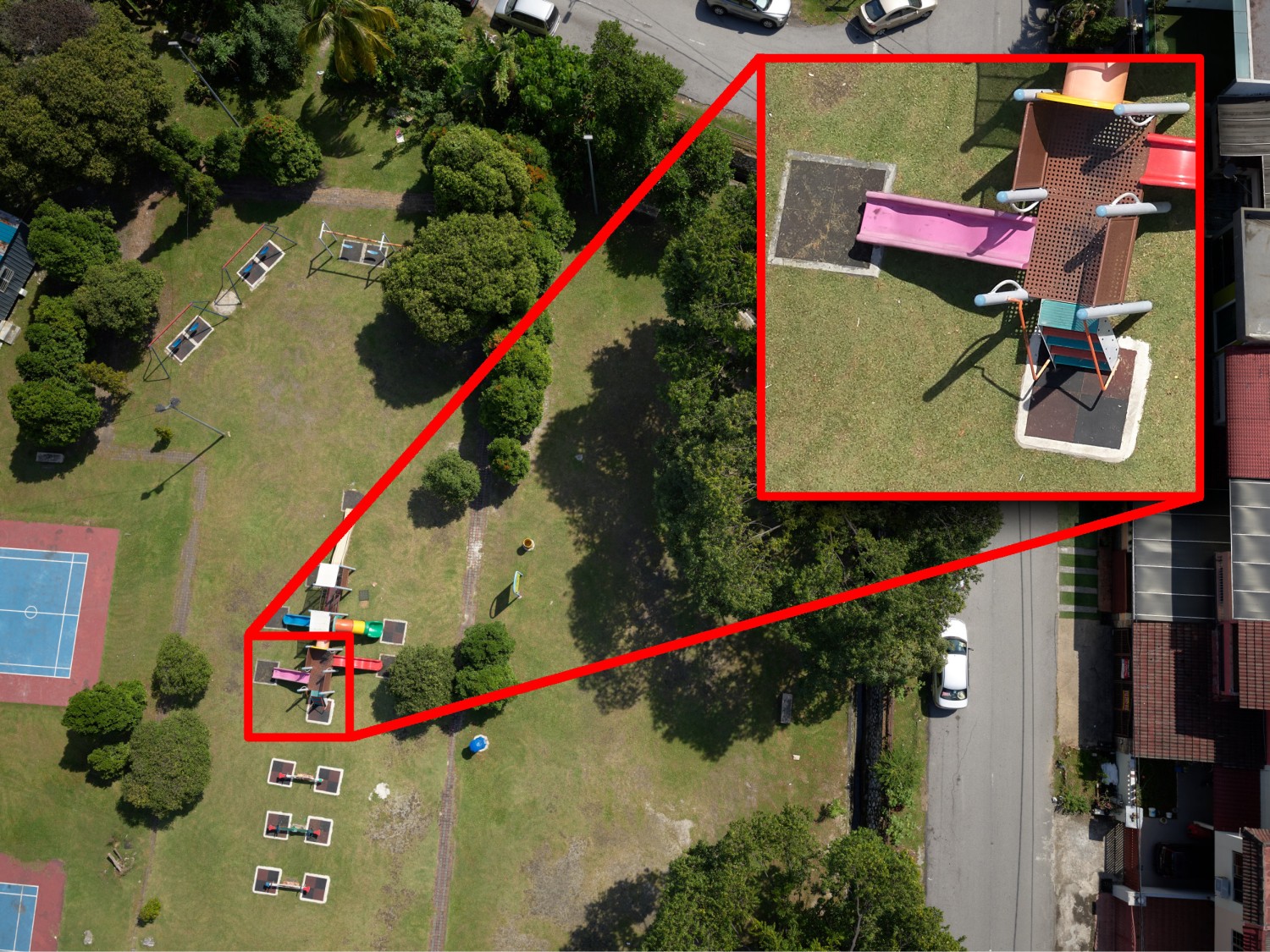
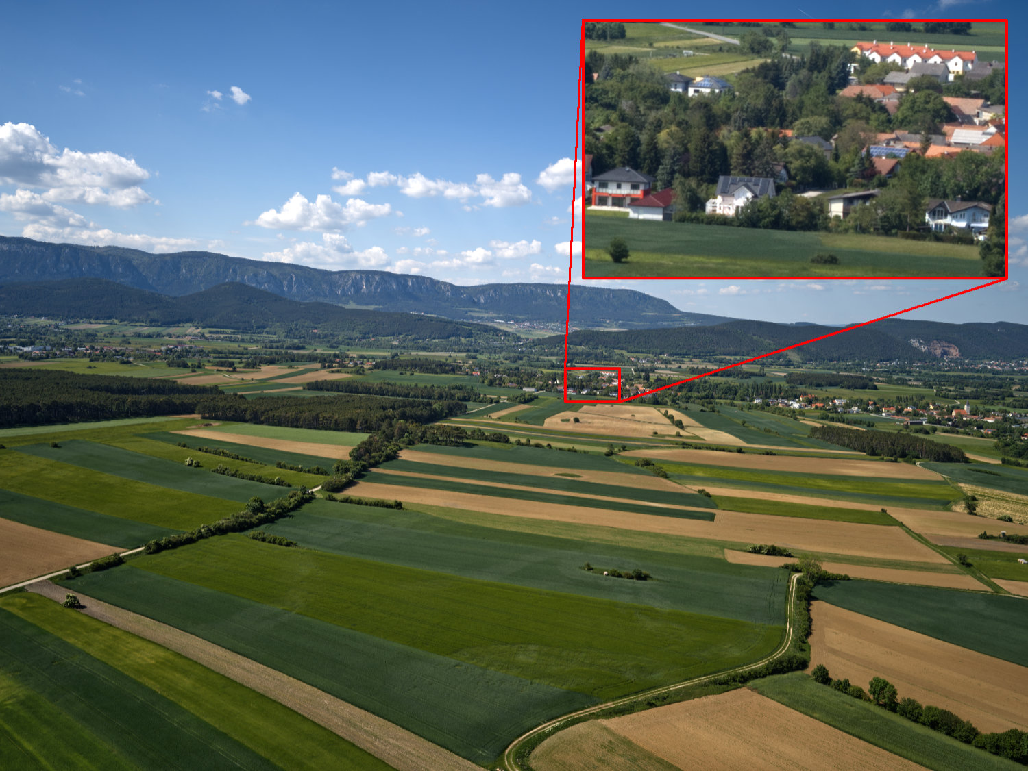
High resolution, survey-grade mapping
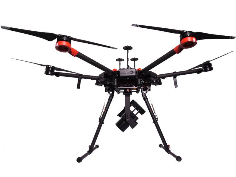
The 4DU-Surveyor combines the advantages of UAV-based mapping and high-resolution medium format photogrammetry. The system integrates the world leading digital medium format Phase One iXM-100 camera and the high-performance Applanix APX-18 dual antenna GNSS/IMU positioning sensor. The system is ready for various applications such as mapping industrial sites and buildings, facilities monitoring, terrain modeling or geological mapping.
Technical Data
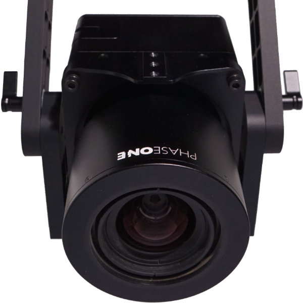
| Camera System: | Phase One iXM-100 |
| Resolution: | 11,664 x 8,750 Pixel |
| Lens: | Phase One RSM 35 mm |
| Angle of View: | 63.0 x 49.4° |
| Ground sampling desolution (GSD): | ~4.5 mm @ 50 m flight-height above ground |
| Georeferencing | Applanix APX-18 UAV GNSS/IMU (100 Hz position, roll, pitch, heading output) |